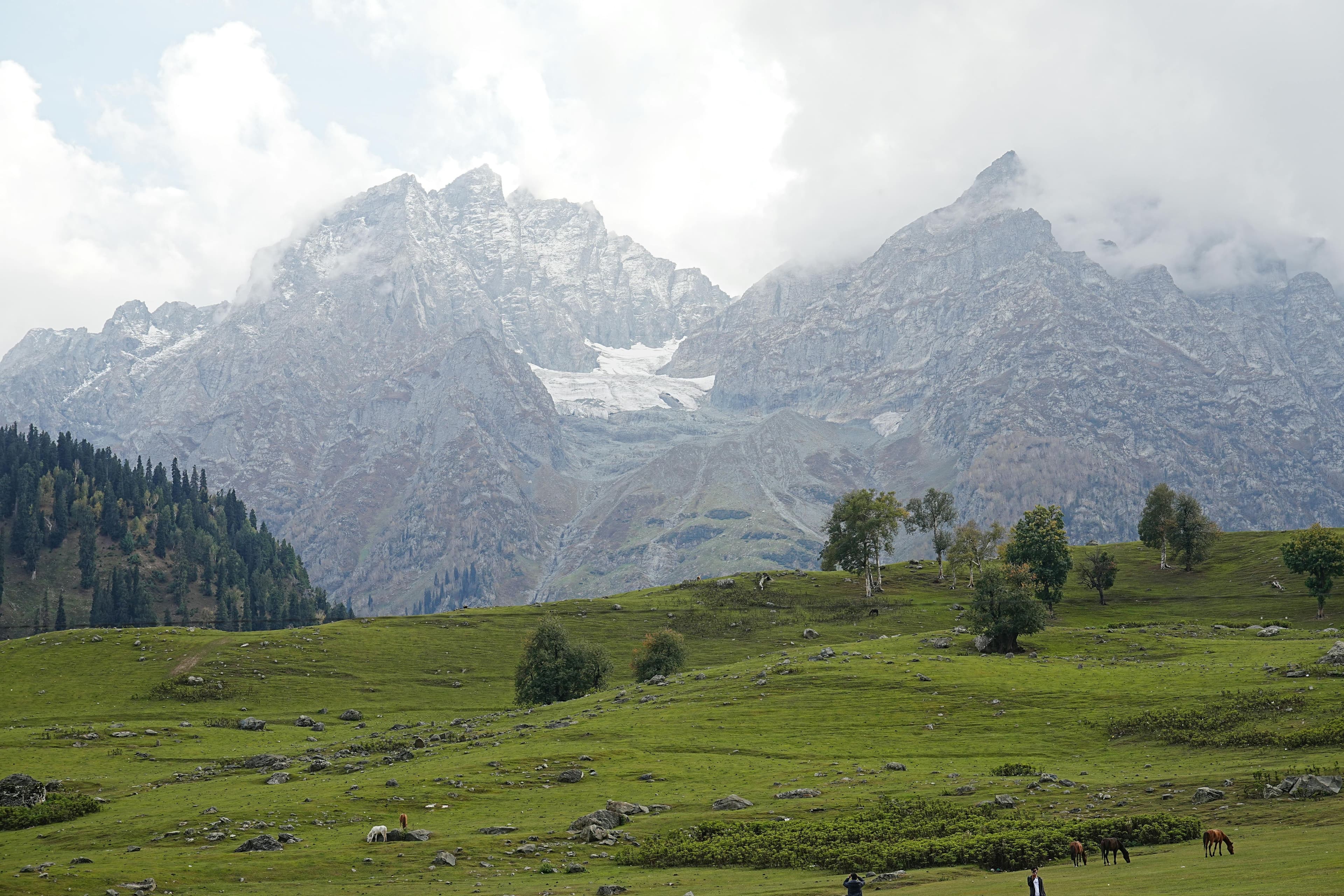

Protecting Punjab'sForest Heritage
Provincial forest monitoring for Punjab — GIS mapping, inventory plots, and forest cover analysis.
Provincial Platform
NFMS Aligned
6,345
km² Forest Area
413
NFI Sample Plots
81
2017 NFI Sub-plots
5
LULC Time Periods
Platform Capabilities
Tools to monitor and manage Punjab's forest resources.
Province-Focused GIS
Interactive map centered on Punjab with boundary overlay, forest masks, land cover layers, and NFI plot visualization.
Forest Inventory Data
National Forest Inventory sample plots and sub-plots with basal area, stem counts, and carbon stock attributes.
Forest Cover Monitoring
Multi-year forest mask and land use land cover analysis specific to Punjab.
Aligned with National NFMS
Built on the same platform architecture as Pakistan's National Forest Monitoring System, tailored for Punjab.